Map Analysis
Friday, July 19, 2013
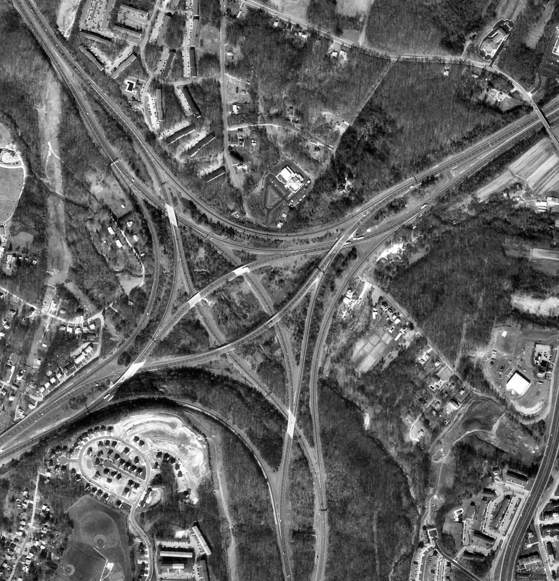
Black and White Aerial Photo of an Interchange
http://www.math.toronto.edu/~drorbn/Gallery/KnottedObjects/Interchange/
Black and white aerial photos are used in remote sensing to show a view of the Earth from above. Depending on the resolution, these maps can be very detailed, being able to show the differences between land, water, trees roads and buildings.
No comments:
Post a Comment
Newer Post
Older Post
Home
Subscribe to:
Post Comments (Atom)
No comments:
Post a Comment