Map Analysis
Saturday, July 20, 2013
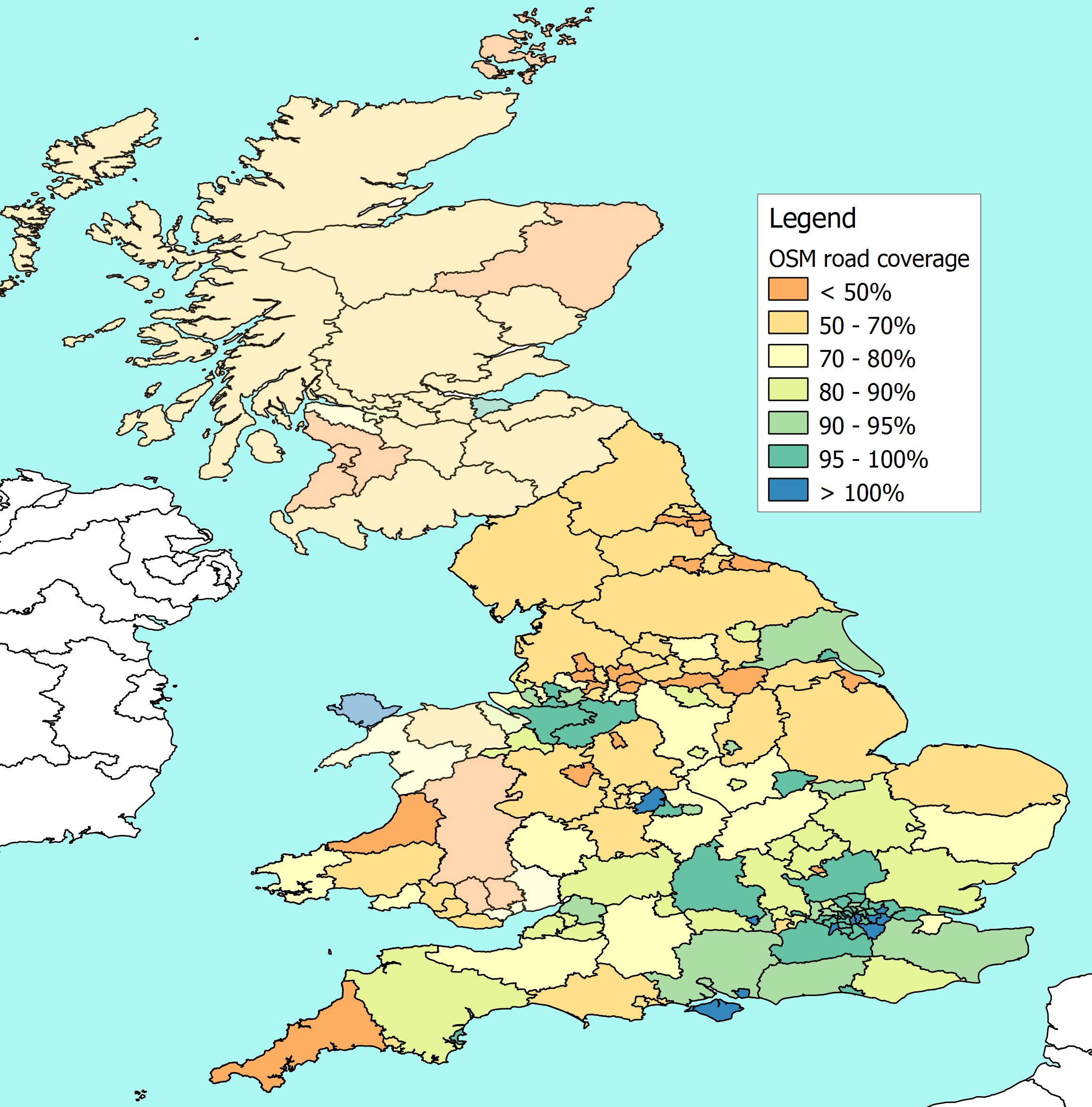
Standardized Choropleth Map
http://oliverobrien.co.uk/category/openstreetmap/page/4/
Instead of showing totalled values, this map type uses aerealy averaged data. The information is also usually standarduzed to a unit, usually an area.
No comments:
Post a Comment
Newer Post
Older Post
Home
Subscribe to:
Post Comments (Atom)
No comments:
Post a Comment