Map Analysis
Saturday, July 20, 2013
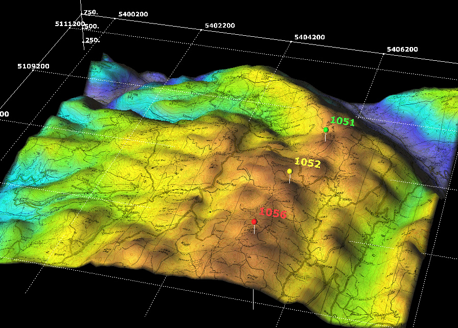
DEM
http://www.sciencegl.com/gis_dem/
Digital Elevation Model maps display elevation data in either digital or 3D form. Remote sensing is used to collect the information and then colors are used frequently to further show the distinction in elevation.
No comments:
Post a Comment
Newer Post
Older Post
Home
Subscribe to:
Post Comments (Atom)
No comments:
Post a Comment