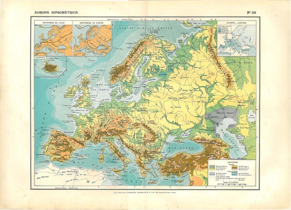
Hypsometric maps depict elevation through shading and color, making the 2D paper seem three dimentional. This type of map relates to contours and topographic maps as many topographic maps can have hypsometric tints. The 100 year old map above depicts Europe with elevation of terrain.
No comments:
Post a Comment